Home
Explore
Notifs
Profile

Black-owned · Built for the global diaspora · Curated pins from Black and melanated creators across hair, style, beauty, home, and art.

Formerly Melaninterest.com

m
melanin
AboutHelpTermsPrivacyCommunity GuidelinesCreators

© 2026 Melanin. All rights reserved.

Mmelanin
HomeExploreCreatorsNewsCreate
Ctrl+K
Log inSign up
Mmelanin
HomeExploreCreatorsNewsCreate
Ctrl+K
Log inSign up
Mmelanin
HomeExploreCreatorsNewsCreate
Ctrl+K
Log inSign up
All news
NOAA Warns: Don't Let 'Below-Normal' Hurricane Forecast Fool YouCulture

NOAA Warns: Don't Let 'Below-Normal' Hurricane Forecast Fool You

1w ago

The National Oceanic and Atmospheric Administration (NOAA) dropped its official outlook for the 2026 Atlantic hurricane season this week, and while the numbers suggest a quieter year, officials are sounding a clear alarm: don't get caught slipping. Despite projections for fewer storms, the message is loud and clear – it only takes one major hurricane to turn a "below-normal" season into a disaster.

Released on Thursday, May 21, 2026, at a press conference held both virtually and at the NOAA Aircraft Operations Center in Lakeland, Florida, the forecast anticipates a below-normal season. The Atlantic hurricane season officially kicks off on June 1 and wraps up on November 30. NOAA is predicting between 8 and 14 named storms, which are weather systems with sustained winds hitting 39 mph or higher. Out of these, 3 to 6 are expected to escalate into full-blown hurricanes, packing winds of 74 mph or stronger. Furthermore, the agency projects that 1 to 3 of these hurricanes could reach major status, meaning Category 3 or higher with winds of 111 mph or greater. NOAA expressed a 70% confidence in these ranges.

2025 Atlantic hurricane season
2025 Atlantic hurricane season Source

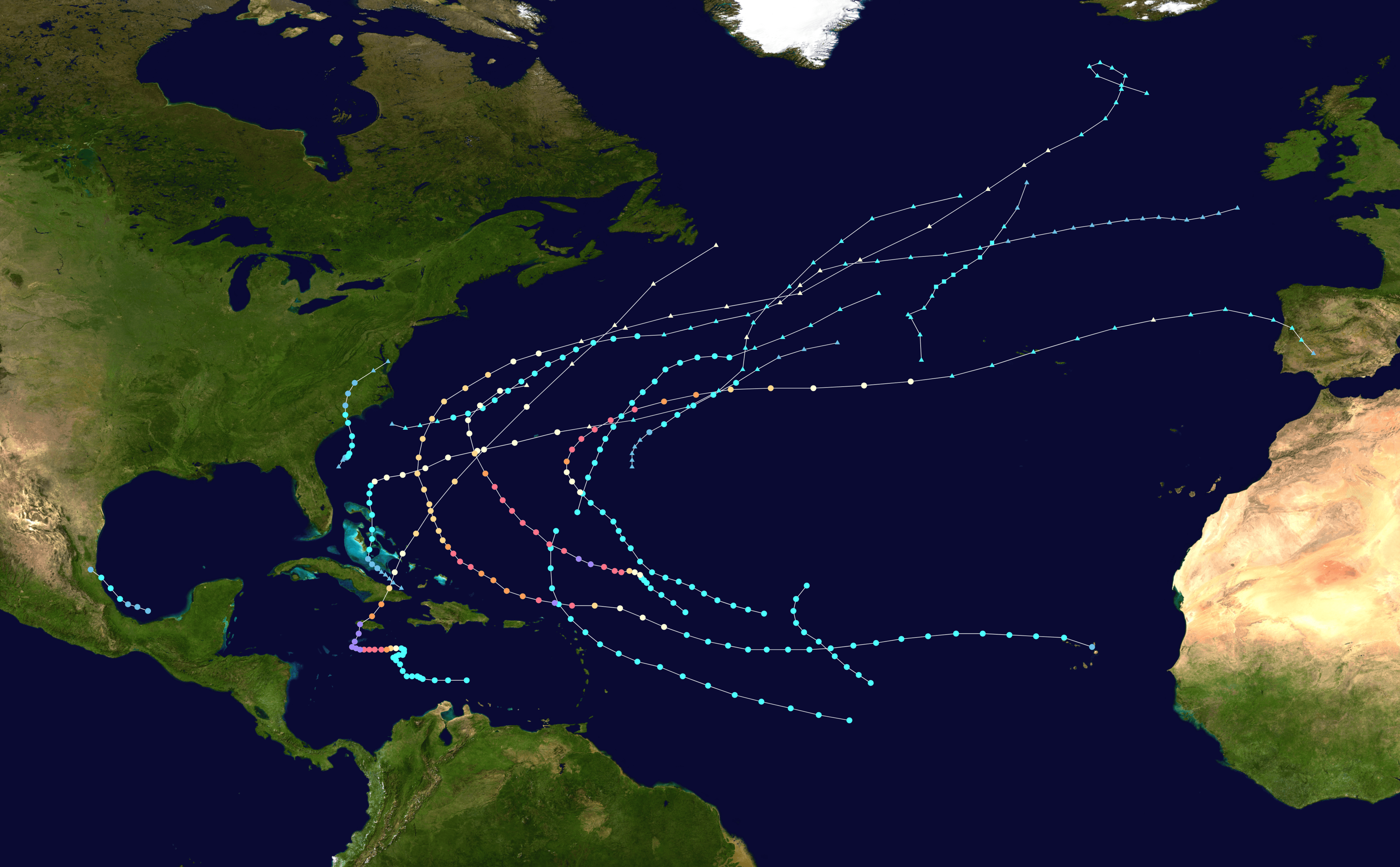
The agency's assessment gives a 55% chance of a below-normal season, a 35% chance of a near-normal season, and just a 10% chance of an above-normal season. Historically, a "normal" season typically sees around 14 named storms and seven hurricanes. The primary force behind this expected lull is the anticipated development and strengthening of El Niño conditions throughout the season. El Niño is a natural, cyclical warming pattern in parts of the central Pacific Ocean, known for suppressing hurricane activity in the Atlantic basin. It achieves this by increasing vertical wind shear, which makes it significantly harder for storms to organize and gain strength.

Neil Jacobs, who serves as the administrator for NOAA, indicated there's a 98% chance that El Niño conditions will develop later in the season, with an 80% likelihood that it will be "moderate to strong." However, the forecast isn't entirely straightforward. Atlantic ocean temperatures are predicted to be slightly warmer than average, and trade winds are expected to be weaker than usual. These conditions could potentially fuel more active storm development, creating a complex interplay of environmental factors.

The warnings from NOAA officials come after a decade where Atlantic hurricane seasons have been anything but quiet. Nine out of the last ten years have seen above-normal or even hyperactive hurricane activity. For example, the 2025 season, despite a slow start, eventually produced a near-record three Category 5 hurricanes. One notable storm from that season, Hurricane Melissa, caused significant impacts in Jamaica and Cuba. This recent history underscores why complacency, even with a favorable forecast, is dangerous.

El Niño–Southern Oscillation
El Niño–Southern Oscillation Source

While NOAA’s outlook remains the official word, other meteorological organizations have released similar projections. Scientists at Colorado State University (CSU), including lead hurricane forecaster Phil Klotzbach, issued their April forecast predicting "somewhat below-normal activity" for the 2026 Atlantic basin. Their forecast called for 13 named storms, six hurricanes, and two major hurricanes, also citing El Niño as the dominant factor driving increased tropical Atlantic vertical wind shear. Major forecasting firms such as AccuWeather and Britain-based Tropical Storm Risk have also published forecasts aligning with a less active season.

It is important to understand that while El Niño tends to calm the Atlantic, it often has the opposite effect in the central and eastern Pacific. For that region, NOAA is forecasting an above-average season, with a 70% chance of above-normal activity, highlighting the global, interconnected nature of weather patterns.

Despite the promising numbers, NOAA officials were united in their message: preparedness is non-negotiable. Neil Jacobs stressed, "Even though we're expecting a below-average season in the Atlantic, it's very important to understand that it only takes one." He reminded the public that "We have had Category 5s make landfall in the past during below-average seasons." Ken Graham, Director of NOAA's National Weather Service, echoed this sentiment, stating, "Although El Niño's impact in the Atlantic Basin can often suppress hurricane development, there is still uncertainty in how each season will unfold." Graham strongly advised, "That is why it's essential to review your hurricane preparedness plan now. It only takes one storm to make for a very bad season," adding, "Don't let the 'below-average' forecast change your preparations." Steven Pfaff, National Weather Service Meteorologist in Charge, further cautioned against misinterpreting a below-normal outlook. He emphasized, "All it takes is one storm to define a hurricane season, regardless of the outlook. Given southeast NC's and northeast SC's hurricane history, our communities must prepare the same way every year."

To help communities stay ahead, NOAA is rolling out several new tools for the 2026 season. These include an updated version of the well-known "cone" graphic for storms, which will now show potential impacts to inland areas. The new cone will also use ellipses to better account for errors in speed and direction, and it will encompass 90% of forecast track possibilities, a jump from the traditional 67% forecast error. Some tools will also be assisted by artificial intelligence. Michael Brennan, director of NOAA's National Hurricane Center, commented that these improvements will "empower communities to prepare earlier and more effectively for dangerous hazards from tropical storms and hurricanes." Data from small uncrewed aircraft systems (sUAS) will also be integrated into NOAA's Hurricane Analysis and Forecast System (HAFS) for the first time, a move expected to boost hurricane intensity forecast accuracy by 10%. Commerce Secretary Howard Lutnick praised these advancements, stating, "Our experts are integrating cutting-edge tools to ensure communities in the path of storms receive the earliest, most accurate information possible." Jacobs concluded, "These new capabilities, combined with the unmatched expertise of our National Weather Service forecasters, will produce the most accurate forecasts possible to protect communities in harm's way."

The continuous refinement of hurricane forecasting is more than just a scientific exercise; it has tangible impacts on public safety and the economy. Historical data reveals that improvements in hurricane forecasts since 2007 have led to an estimated $2 billion in savings for each hurricane landfall, alongside countless lives saved. These advancements allow for more targeted evacuations, better resource allocation, and more efficient disaster response, minimizing both human and financial costs.

The contrast between the Atlantic and Pacific forecasts highlights the complex global climate system. While El Niño offers some relief to Atlantic coastal regions, it simultaneously intensifies risks elsewhere, reinforcing the need for comprehensive, region-specific preparedness strategies. The ongoing investment in technology and expertise aims to provide communities with the best possible information to navigate these annual threats.

As the 2026 Atlantic hurricane season officially begins, the message from NOAA is unequivocally clear: a lower storm count does not equate to lower risk. Every coastal community, from the Carolinas to the Caribbean, must remain vigilant and ready. The focus remains on proactive planning and leveraging every available tool to protect lives and property from the unpredictable power of tropical systems.

NOAA Warns: Don't Let 'Below-Normal' Hurricane Forecast Fool You — Melanin News | Melanin